

Free and open: The core platform is free for unlimited users and surveys; anyone can sign up and start collecting data in minutes.

Designed for collaboration: Easily collaborate with governments to monitor public infrastructure.

Your data belongs to you: You own your data and decide what to share and what to keep private.

Secure and reliable: Data is stored on secure cloud servers with backups, optional two-factor sign-in and 99.985% uptime in 2024. You can download any or all of your data at any time. Read our policies.
Where to start
Governments: run a national water and sanitation monitoring system that your own staff manage. See national water monitoring
Water utilities: keep assets, maintenance, customers and billing in one system. Explore the utility demo
NGOs and programs: monitor projects across countries, with your own app and data hub if you need them. Work with us
mWater at work
Zimbabwe: 4,700 water quality tests from 74 districts in nine months, run by the Ministry of Health and Child Care. Case study
Papua New Guinea: government-run since 2019, with K5 million allocated to expand WASH planning to 13 more districts. Case study
Water utilities: more than 830,000 water assets are managed on mWater, including 220,000+ customer connections and 97,000+ pipes. Deep dive
What you can run on mWater
Workflows: repairs, inspections, new connections and complaints, assigned and tracked step by step.
Asset management: sources, pumps, tanks, pipes and meters on a map, with condition and cost.
Customers, meters and billing: offline meter reading, tariffs, bills and a utility ledger.
Integrations: bring in data from DHIS2, Kobo, ODK, sensors and spreadsheets with the Integrator.
AI assistance: describe a dashboard or map and AI builds it. AI assistants can connect through our MCP server, and a person approves every change.
Environmental data: rainfall, flood, drought and population layers alongside your sites.
Organization hubs: a branded site that brings your data, dashboards and resources together.
Features

Collect Data
Record data for any surveys you want
Track infrastructure data with sites
Online / Offline functionality
Use phones, tablets, browser
Data immediately available
Import data from spreadsheets
Design and Manage
Design surveys quickly and easily
Localize surveys to any language
Manage deployments for any number of users and responses
Validate and clean data coming in
Send feedback to data collectors


Analyze and Visualize
Create comprehensive reports
Perform calculations on your data
Visualize collected data on a map
Track results over time
Share visualizations with stakeholders
Export your data at any point
Collaborate
Manage data collection at any scale, up to national data monitoring
Share data with others when you want
Setup organizations to keep track of large-scale data collection efforts
Harmonize data collection with standard forms and indicators
Connect with other platforms using our API


The same platform, beyond water
Governments working in health, education, environment and other sectors run on the same platform under the name Solstice, and under Juno for environment and natural resources. One account reaches the same data, the same features, and the same free terms.
Read how Solstice works as an operational data system for governance
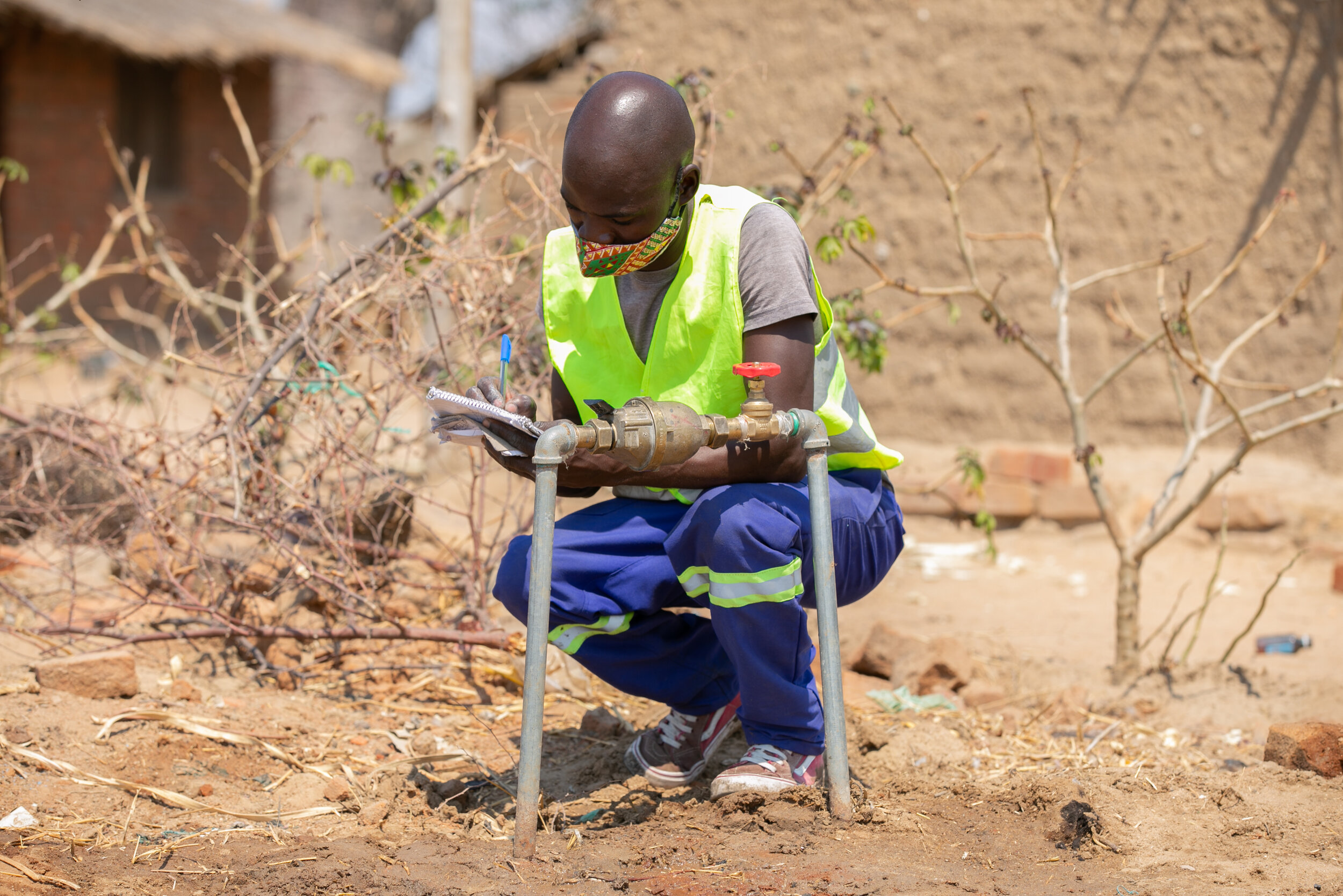
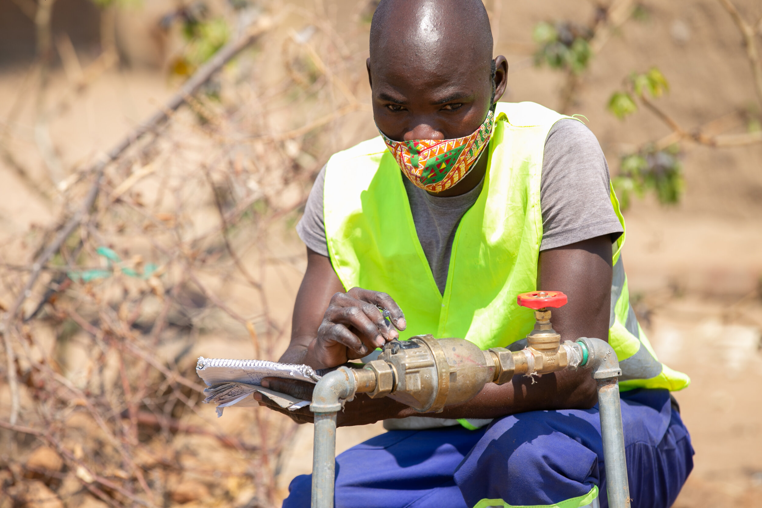
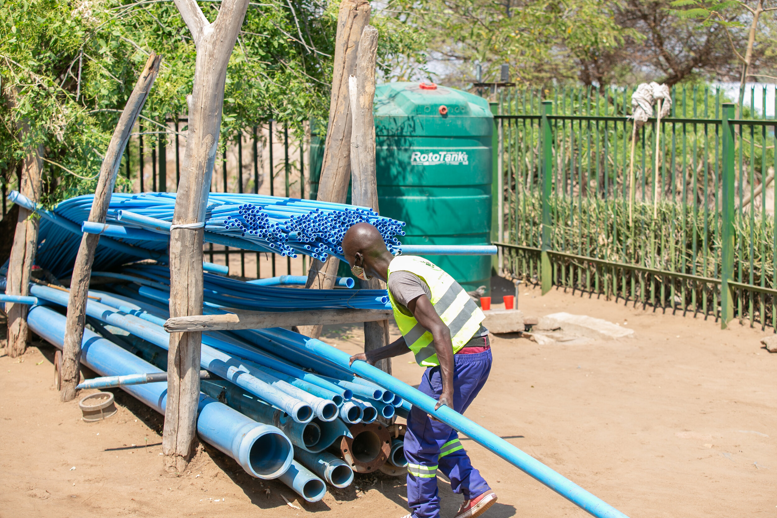
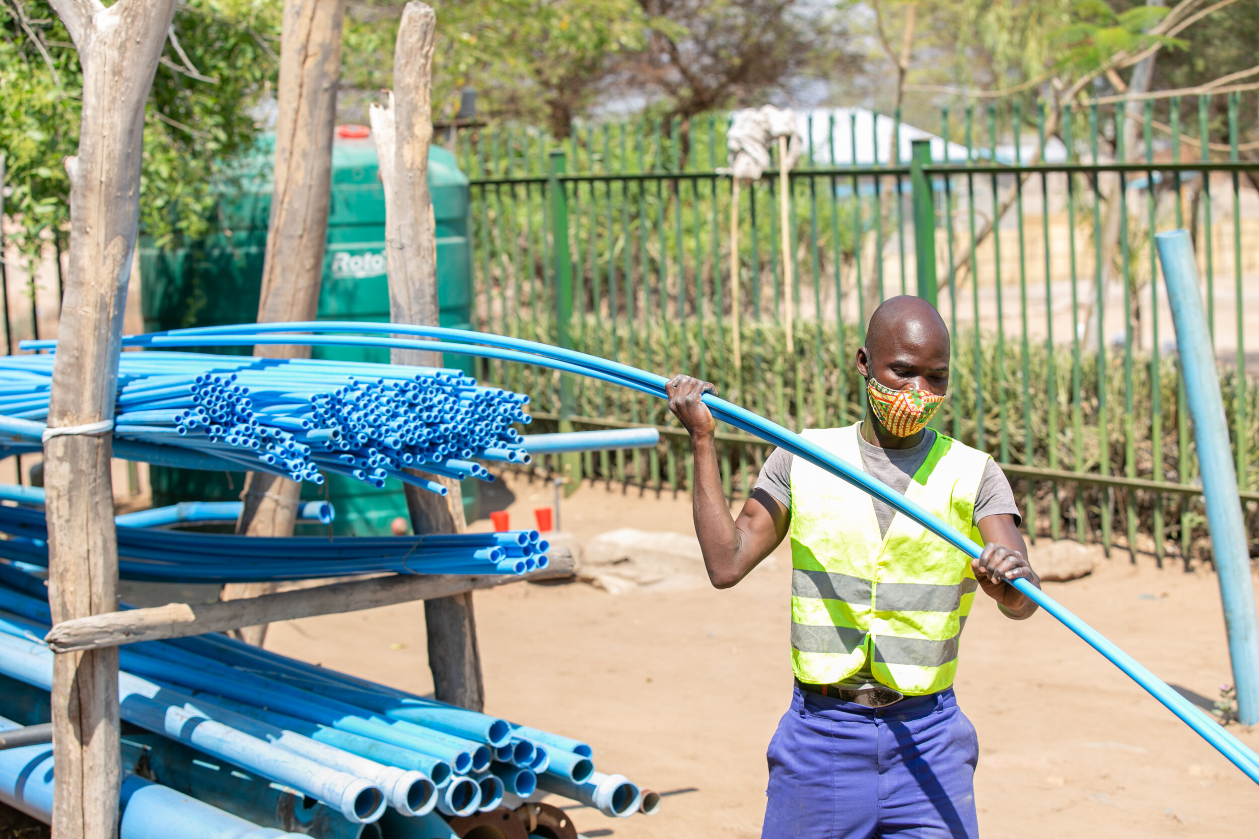
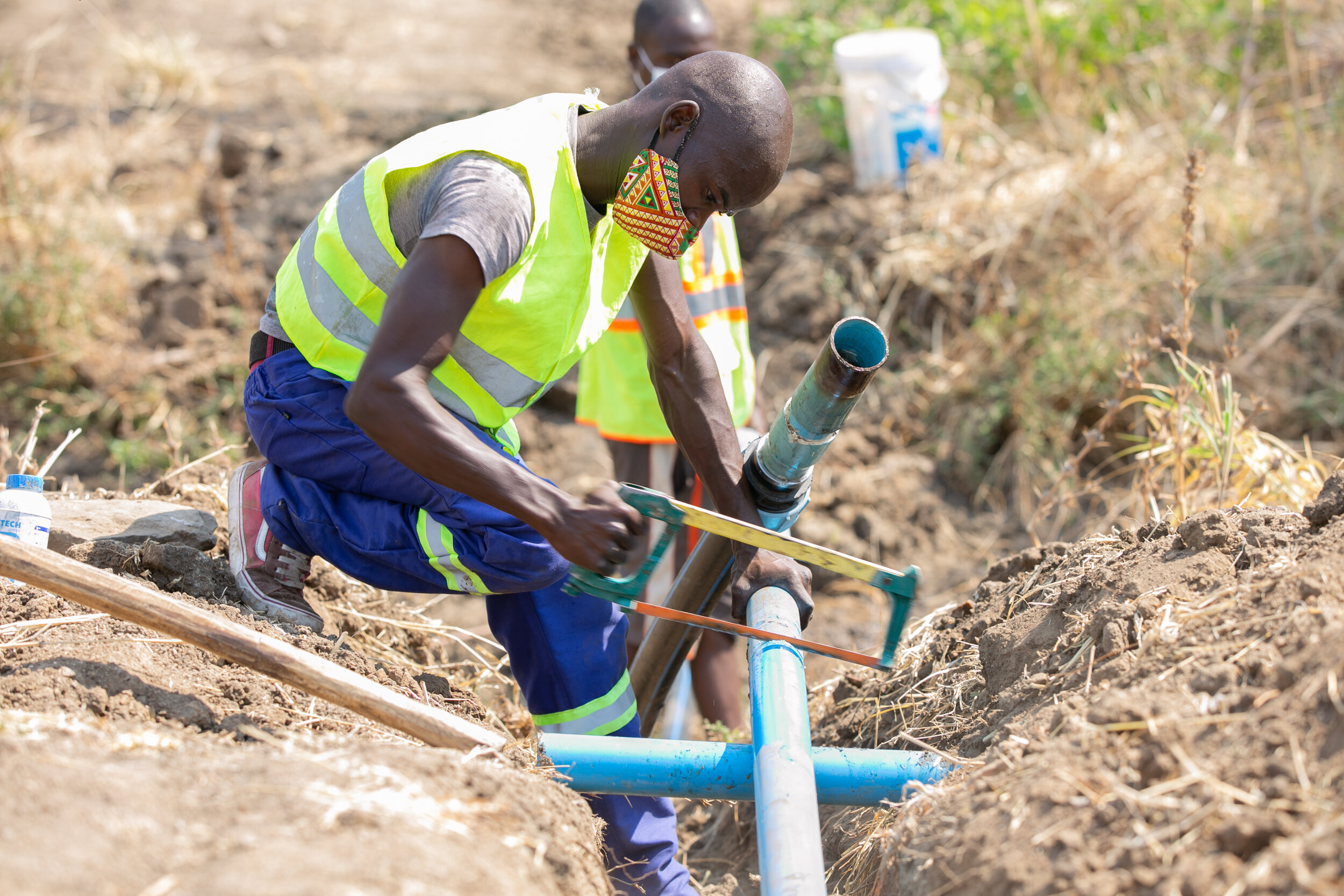
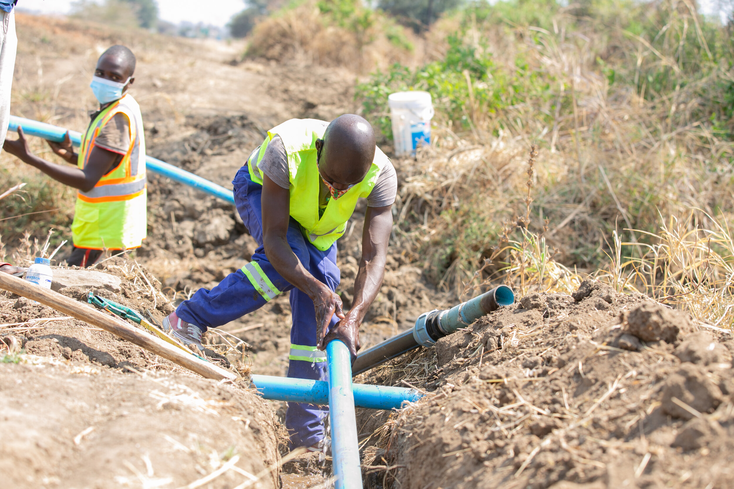
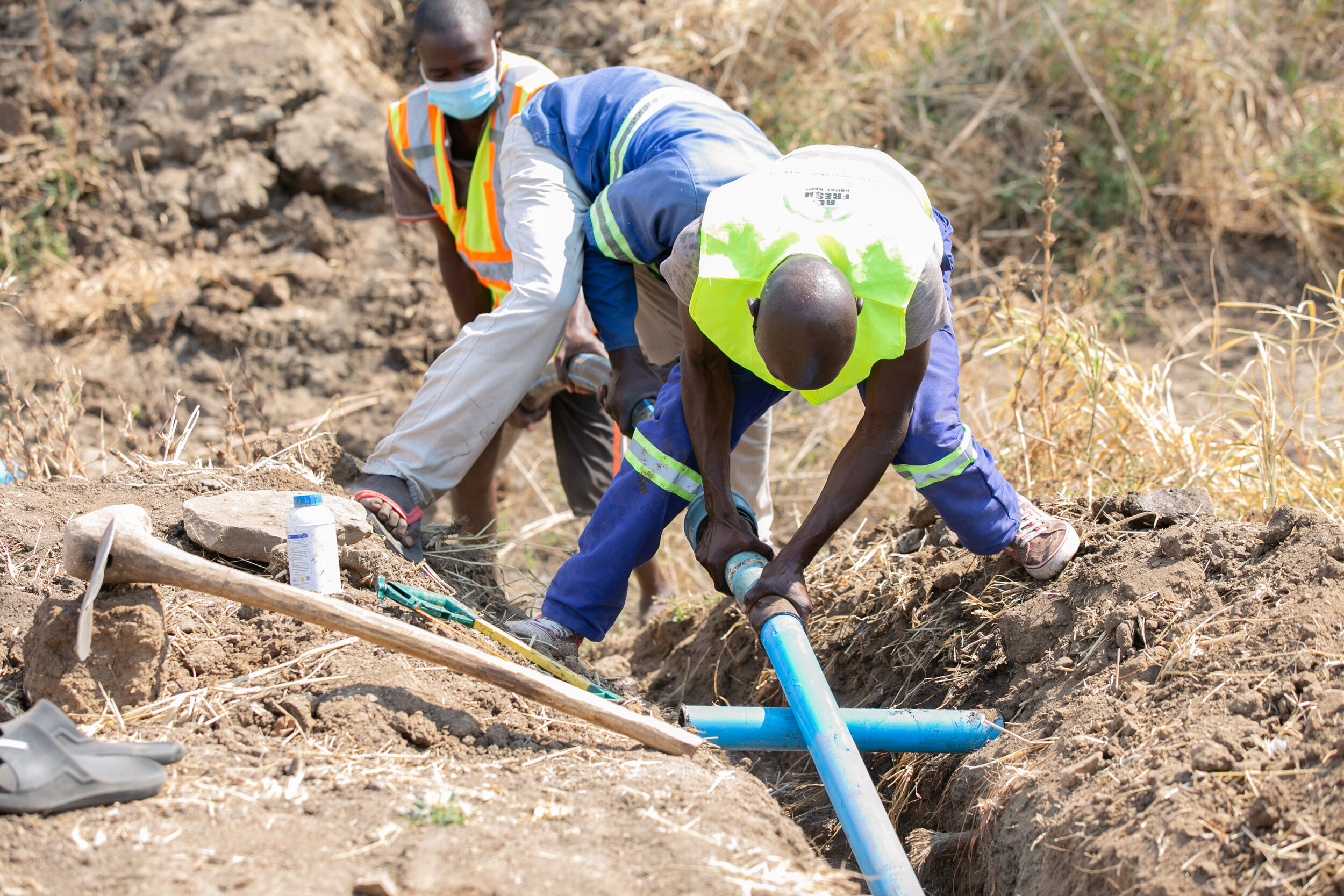
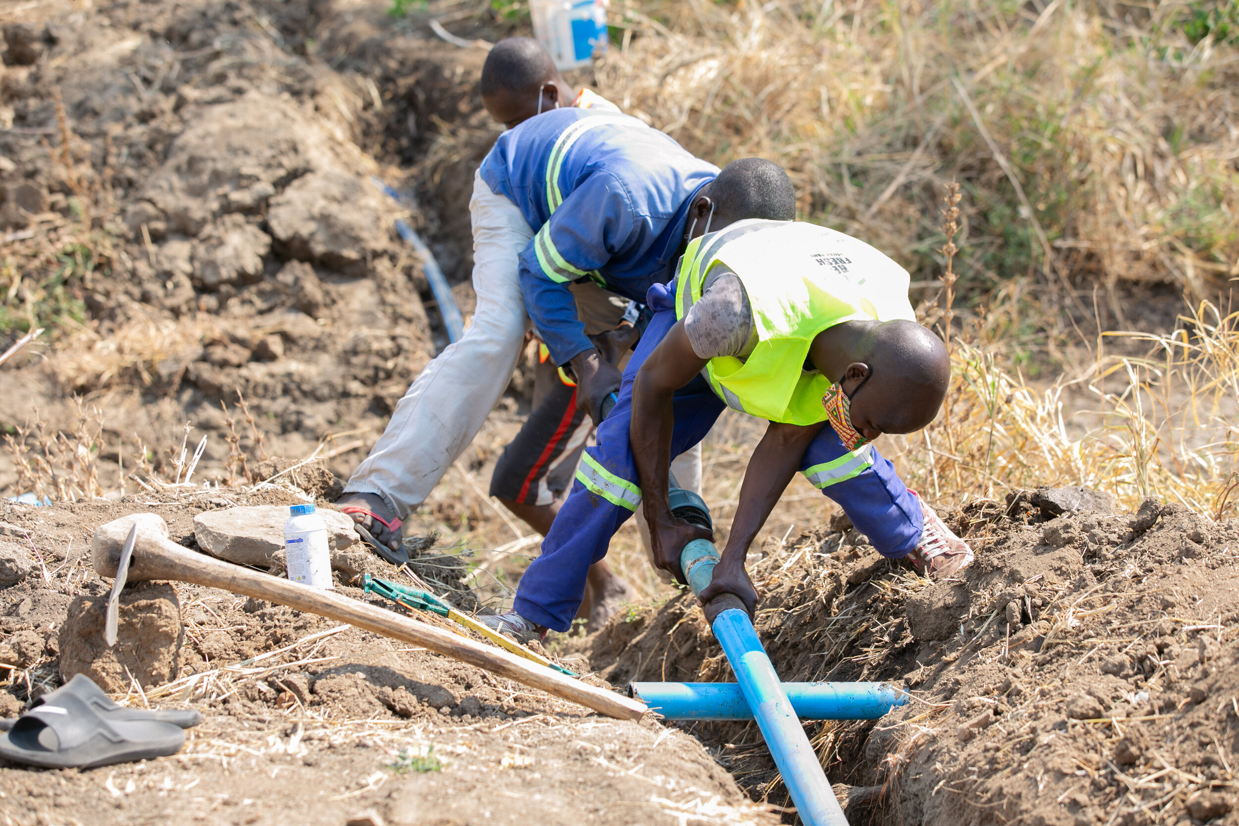
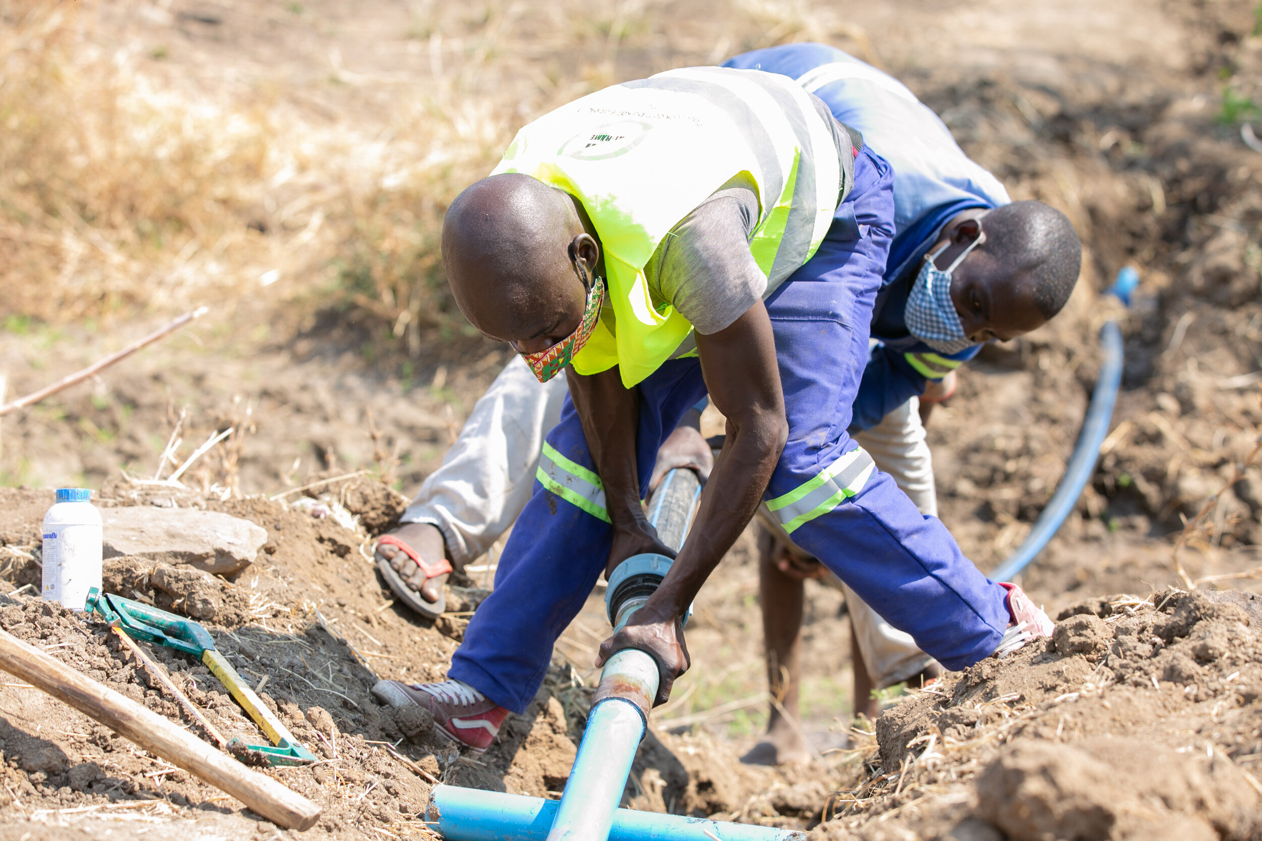
Expand public services: We believe that governments, public utilities, and community-based service providers are the best institutions to scale up access to water and sanitation to everyone. Wealthy countries that enjoy high levels of public services have achieved this mainly through public investment in infrastructure and effective management by authorities that are accountable to the public.
Strengthen governments: The primary output of all our engagements is to strengthen the capability of local and national governments to continue the work by themselves, without aid. NGOs and multilaterals should exist to support governments in providing services, but too often they supplant government capability and authority, through the “brain drain” effect of hiring local experts at higher salaries than government can provide (e.g. Dutch Disease) or by directly competing with the government by providing services themselves. By building the capability of governments to deliver services, we increase the confidence of local citizens in the outputs of their own taxes and fees.
Begin with an exit strategy: We structure all our collaborations to be sustainable, in terms of cost and technical capacity, after the engagement has ended. Our free and open access software model means what we begin under a technical assistance program can be continued without ongoing costs or reliance on expensive specialists.
Scale, not spread: When something costs twice as much to do twice as much, that is spread, not scale. Everything mWater does should become cheaper and/or easier with each additional unit of labor; that is the definition of scale. Technology can be a powerful tool to help enable scale, allowing us to replicate successful approaches and more easily share knowledge.
Build local data capacity: mWater does not set up permanent country offices, preferring instead to develop relationships with local entrepreneurs and small businesses to act as subcontractors on larger projects. This helps to ensure that data management capacity built as the result of technical assistance efforts remains in the country and contributes to the local economy.
mWATER PORTAL
DOWNLOAD OUR APPS


Follow us on WhatsApp and LinkedIn for platform updates, press and other news.
Contact us at info@mwater.co

This page is maintained by Petri Autio, Head of Product. Questions or corrections: petri@mwater.co
Compare mWater with other platforms
| Capability | mWater | KoboToolbox | ArcGIS Survey123 | Power BI | Salesforce | QuickBooks |
|---|---|---|---|---|---|---|
| Offline field surveys | ✓ | ✓ | ✓ | — | ◐ | — |
| Advanced form design | ✓ | ✓ | ✓ | — | ◐ | — |
| Maps and spatial data | ✓ | ◐ | ✓ | ◐ | ◐ | — |
| Dashboards, KPIs, and analysis | ✓ | ◐ | ◐ | ✓ | ◐ | ◐ |
| No-code integration and transformation | ✓ | ◐ | ◐ | ✓ | ◐ | ◐ |
| Infrastructure and asset registry | ✓ | ◐ | ◐ | — | ◐ | ◐ |
| Operational workflows and assignments | ✓ | ◐ | ◐ | — | ✓ | — |
| Customer and service records | ✓ | — | ◐ | — | ✓ | ◐ |
| Billing and accounting | ◐ | — | — | — | ◐ | ✓ |
| WASH indicators and water-system model | ✓ | — | — | — | — | — |
| One environment from field data to WASH operations | ✓ | ◐ | ◐ | ◐ | ◐ | ◐ |